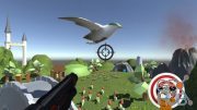
Lynda – Unity: Integrating GPS and Points of Interest
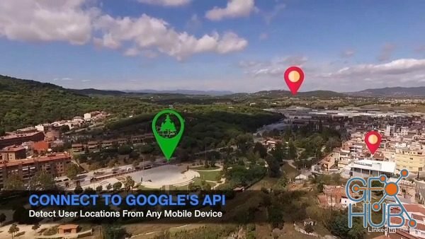
Download video course: Lynda – Unity: Integrating GPS and Points of Interest
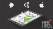
Geographic data is at the heart of much of the large-scale augmented reality work out there, but adding it to projects takes finesse. In this hands-on course, instructor Diego Herrera lays out the process, showing beginners how to use GPS inside Android and iOS applications. Throughout the course, Diego details how to load information from the Google Places API and process the JSON code successfully inside Unity. Learn how to set up an augmented reality camera, as well as how to build a fully-functional application that can sort results by distance.
Topics include:
- Setting up an AR camera
- Building a scrolling menu
- Creating a scene controller
- Using Unity to load data from a website URL
- Refactoring code
- Populating a virtual object with JSON data
- Calculating distance using GPS
- Sorting results
MP4 1280x720 | Total time: 3h 57m | ENG | Project Files Included | 1.05 GB
Download links:
Comments
Add comment
Tags
Archive
| « February 2026 » | ||||||
|---|---|---|---|---|---|---|
| Mon | Tue | Wed | Thu | Fri | Sat | Sun |
| 1 | ||||||
| 2 | 3 | 4 | 5 | 6 | 7 | 8 |
| 9 | 10 | 11 | 12 | 13 | 14 | 15 |
| 16 | 17 | 18 | 19 | 20 | 21 | 22 |
| 23 | 24 | 25 | 26 | 27 | 28 | |
Vote
New Daz3D, Poser stuff
New Books, Magazines
 2019-03-18

 993
993
 0
0


